Enjoy Your Stay
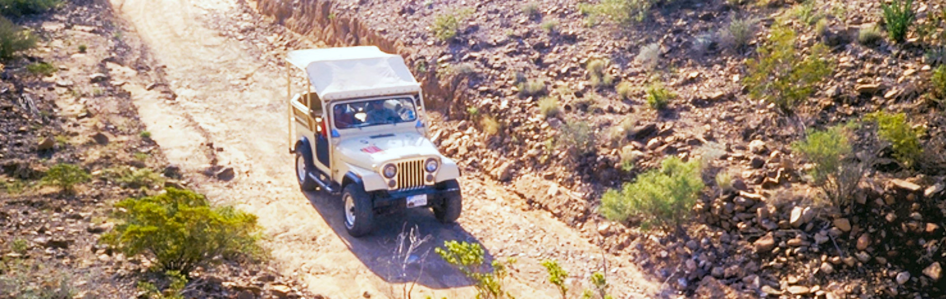
Choose Your Way
What Guests Say
"If you are searching for an offbeat place situated in one of America's most beautiful natural surroundings this might be your home away from home... The cabins are clean, the beds are comfortable and the stars at night are beyond description!"--Hugh H.,
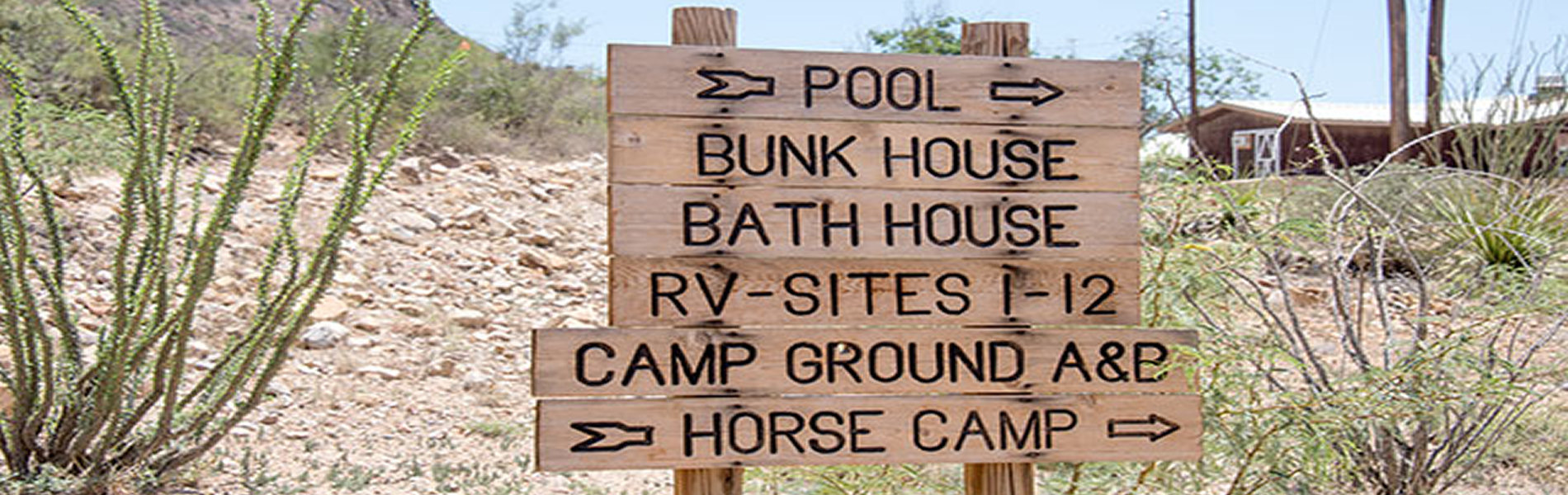
"I have stayed many times, and each experience is better. Kudos to management and staff. The pool is well maintained, the roads are in the best condition in years, clean, new lodgings, and a functioning laundry on site make this a 5-star for me!"--Calvin P.
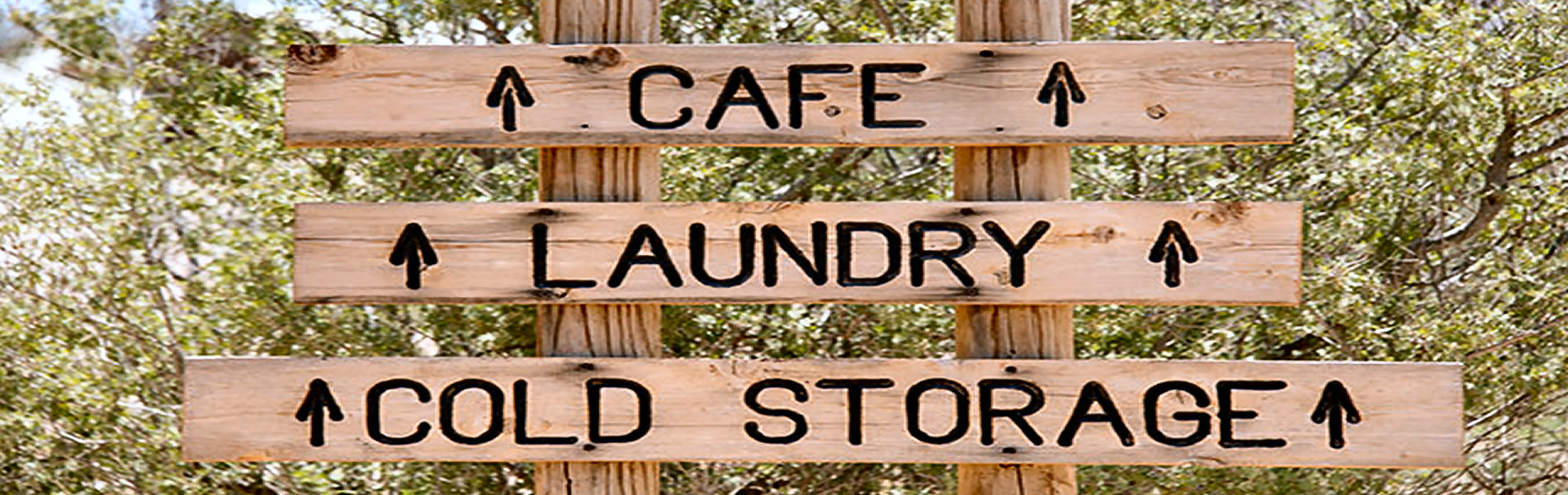
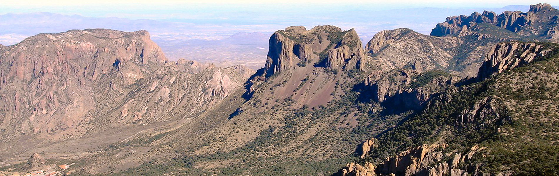
"This place has all you need if you want to combine camping at Big Bend National Park with some nights where you can sleep in a clean bed, take hot showers, do laundry and eat hot food. Everyone at the office and Bad Rabbit Café were extremely friendly!"--Carolina I.
"I have stayed many times, and each experience is better. Kudos to management and staff. The pool is well maintained, the roads are in the best condition in years, clean, new lodgings, and a functioning laundry on site make this a 5-star for me!"--Calvin P.
"This place has all you need if you want to combine camping at Big Bend National Park with some nights where you can sleep in a clean bed, take hot showers, do laundry and eat hot food. Everyone at the office and Bad Rabbit Café were extremely friendly!"--Carolina I.
Contact Us Today
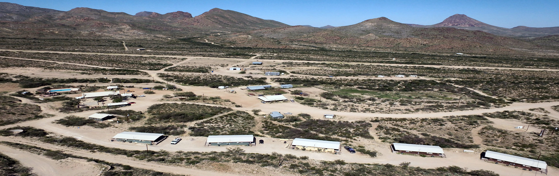
TERLINGUA RANCH LODGE
16000 Terlingua Ranch Rd
PO Box 638
Terlingua TX 79852-0638- 29.4525654, -103.3941576
- 432-371-3146
- https://terlinguaranch.com